


Full Day Walk:
5-6 Hour Walk
Waikohu and Mickleson Farms
12km | Moderate
The full-day walk starts at 160 Matahuru Road, Waiterimu. Follow the driveway up the hill past the Mickleson house to a carpark where the track begins. Leave the carpark by walking on a 4WD farm track which rises to reach the saddle.
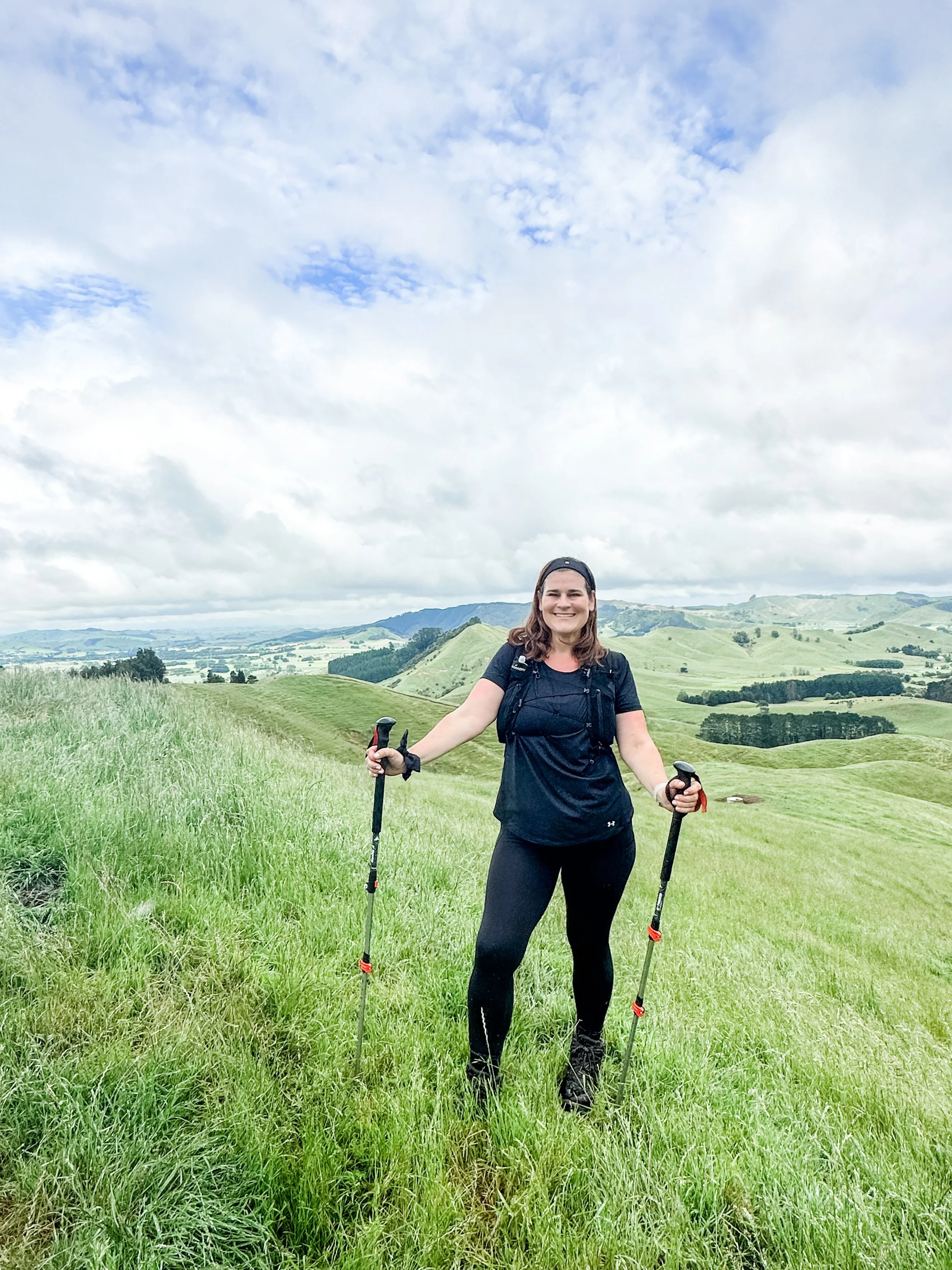
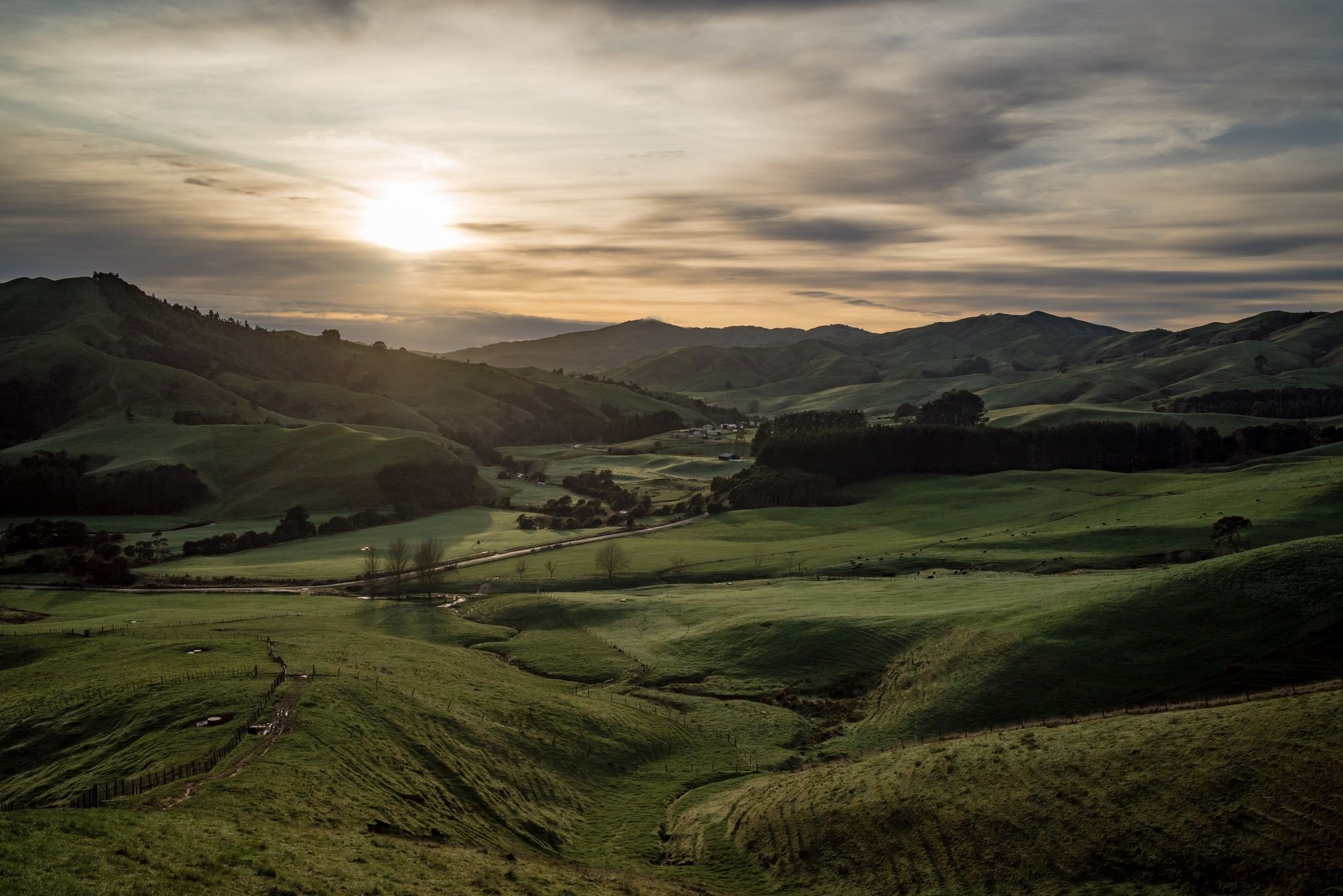
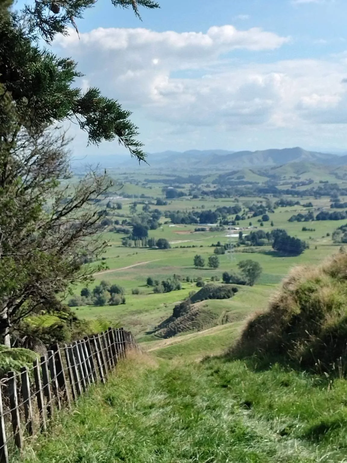
The gentle climb snakes its way above the Matahuru Valley and after 1.5km reaches a viewpoint on a short side track which is the high point of the journey. It's worth having a breather here, to regather and take in the views before continuing. The track drops over a saddle and into the Mangapiko Valley and soon begins to sidle an exotic forest stand which transitions into native vegetation.
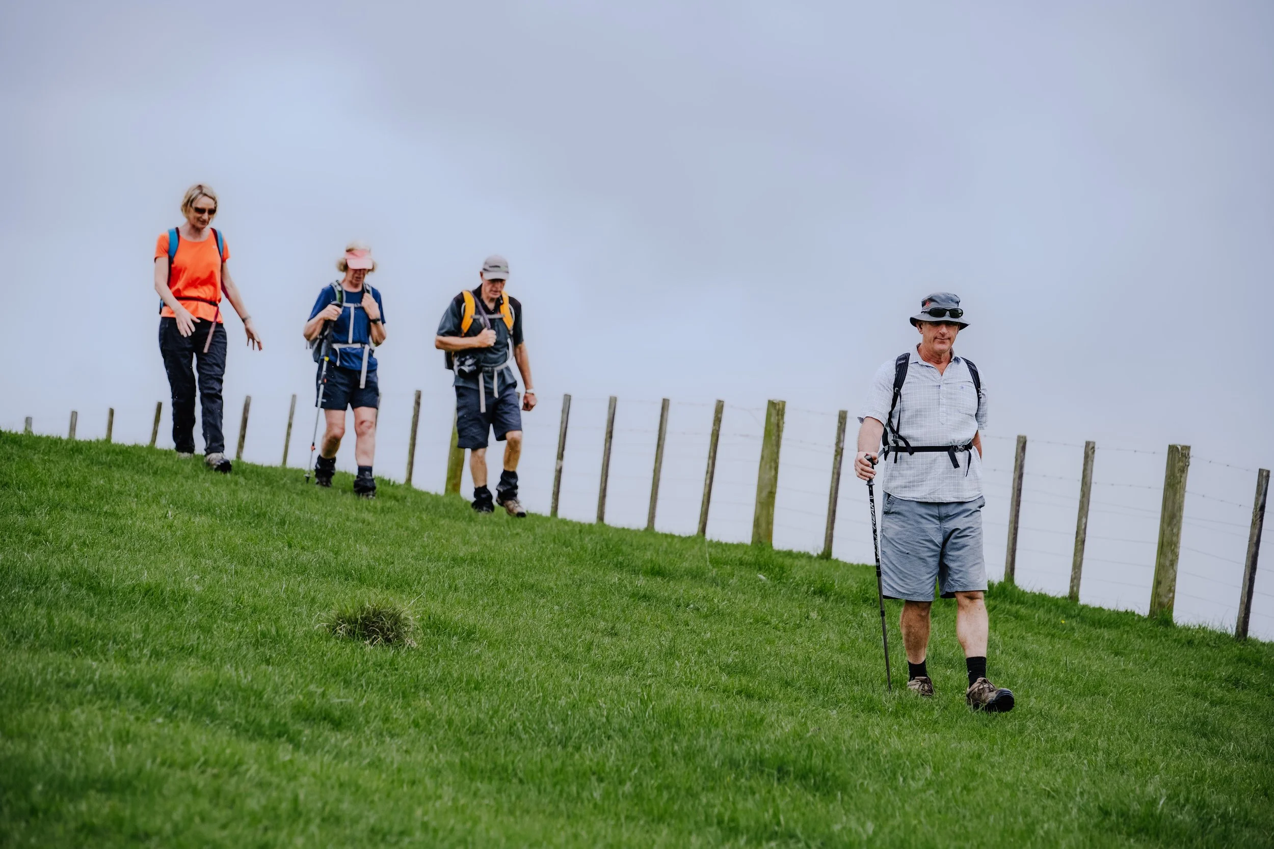
The track then leaves the forest and begins to climb through the farmland to the ridge where the Waikohu farm is reached. Follow the markers along the rolling ridge before the track leads steeply down through a pine plantation with regenerating wetland plants. This section then loops back up to the main track before dropping to the Waikohu cattle yards and crossing Matahuru Road.
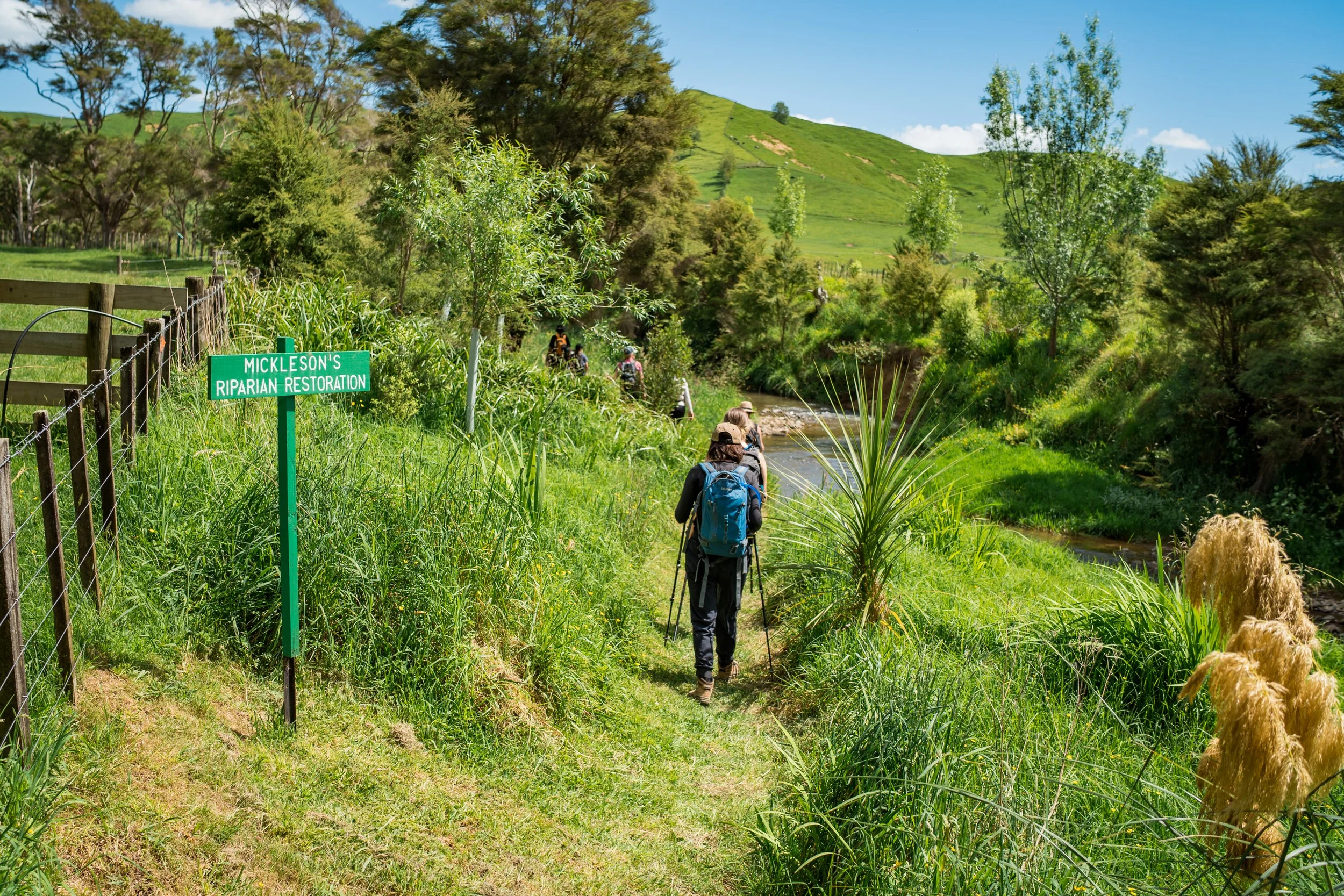
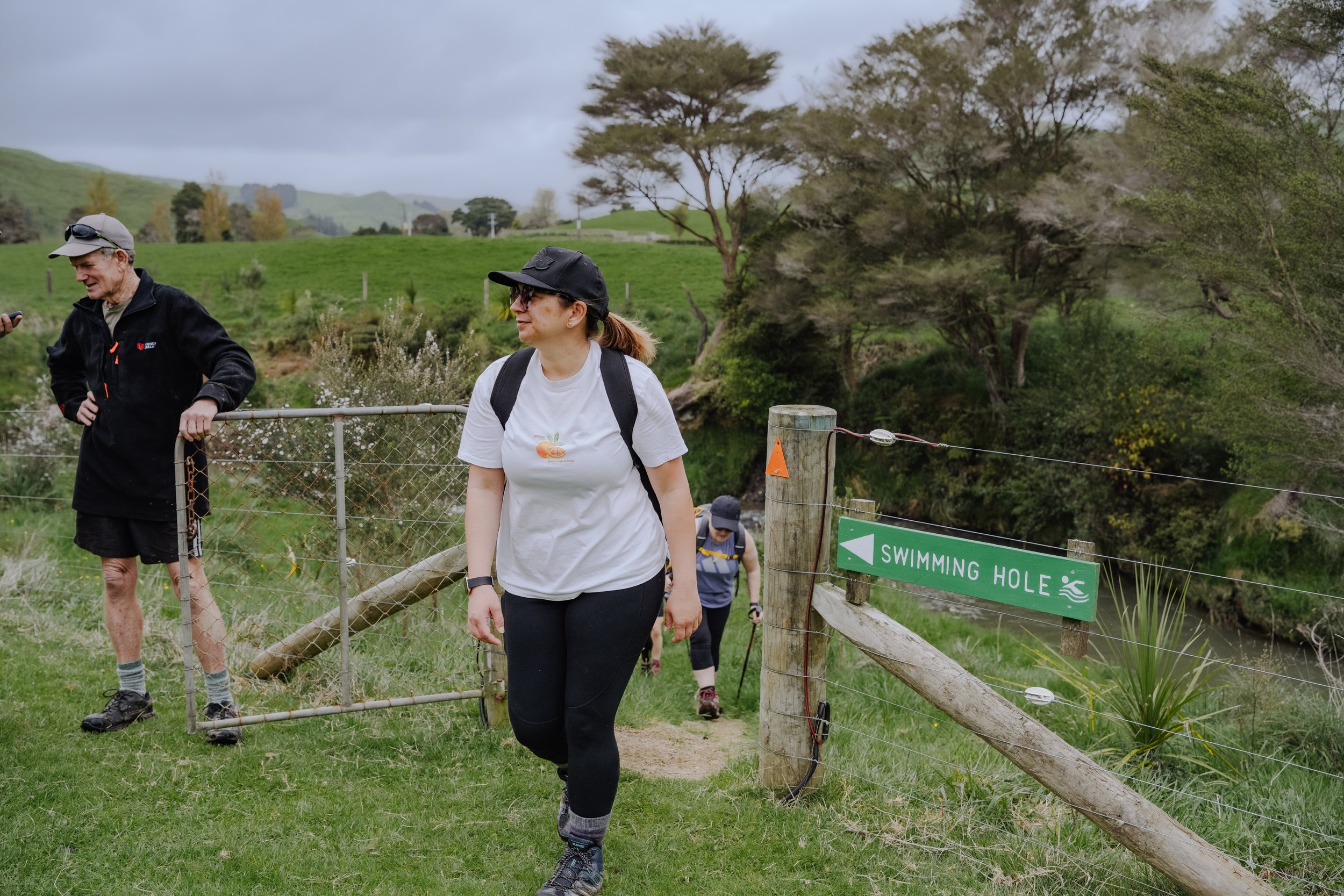
Safely cross the road and follow the markers down the lane to the Matahuru Stream. Ford the stream to the opposite side where there is a lovely track which follows the Matahuru Stream, eventually ending up at the waterhole. A short walk further through bush takes you to the grassy picnic area beside a native forest block and scattered trees on the stream bank. This is a great place for some lunch, to have a dip and to relax under the shade of the kahikatea trees.
Upon leaving the stream the track comes back to a junction. The main track leads up the hill through another stand of native forest (Rimu Alley) to a viewpoint - the highest part of the full-day walk at an altitude of 260m. (There is a shortcut, marked with purple markers, halfway up the hill which takes you up to the entrance of Cheyne’s Bush.
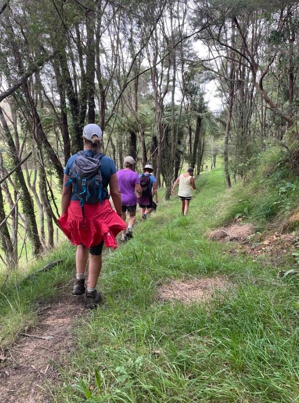
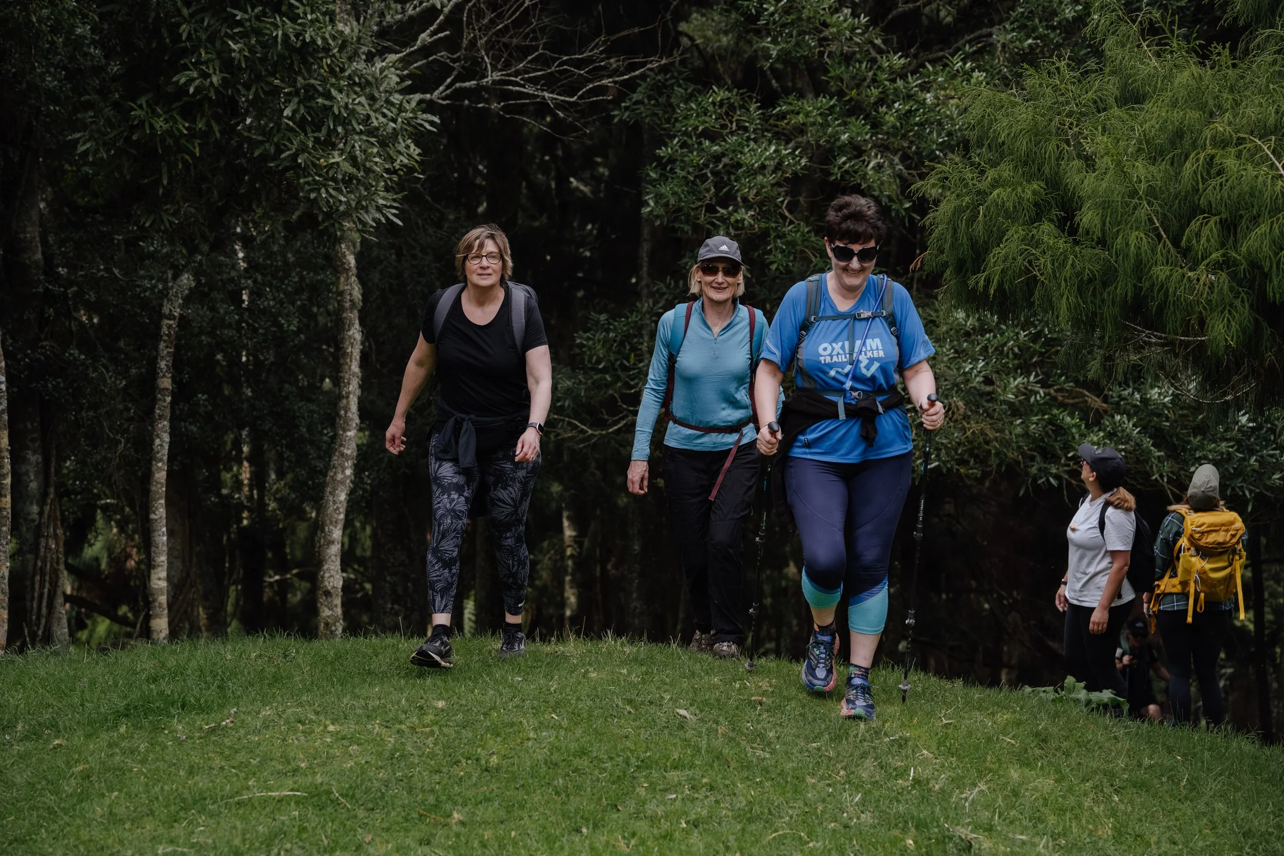
Here the track traverses the hillside through the diverse forest and is a real highlight of the day. Exiting the bush, the track descends to the Matahuru Stream.
Follow the markers beside the stream through an area of native planting which is regenerating the stream bed. Ford the stream and cross the paddock to the Matahuru Road before returning to the driveway at the start of the day walk.


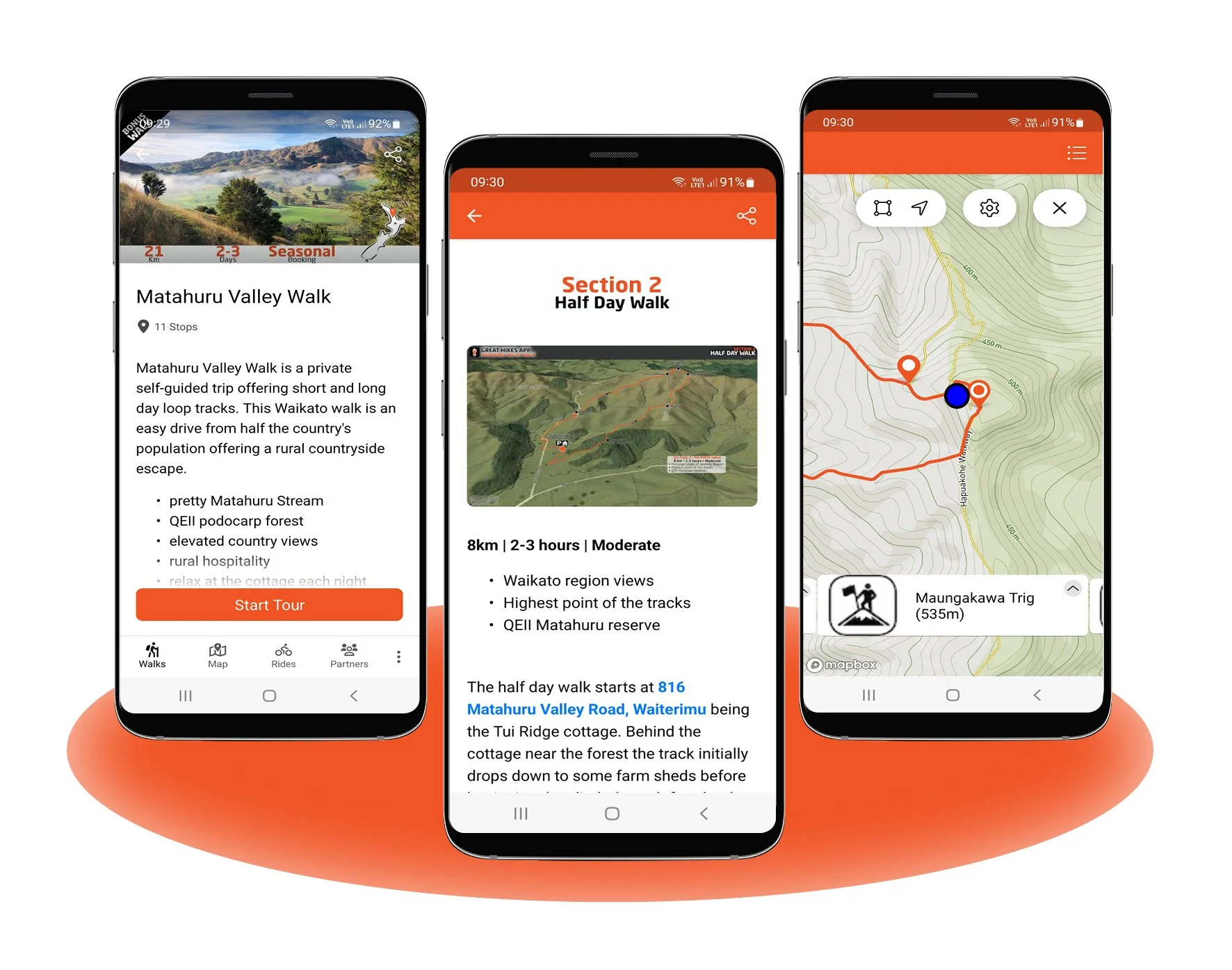
The official walk map is available to download via the Great Hikes App, under 'Private Walks’ - the link to download is below, or Search for ‘Great Walks App’ in your chosen App Store.